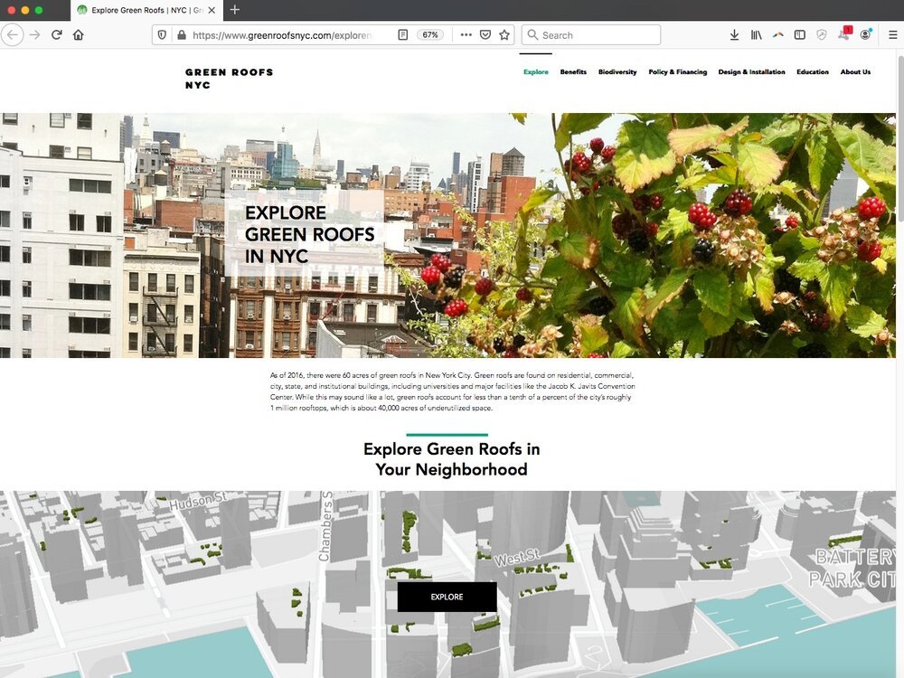
Green Roofs NYC is a resource to inform residents, developers, and business owners about the benefits of green roofs and connect them with green roof resources, including policy, finance options, and educational curriculum.
Read MoreGreen Roofs NYC is a resource to inform residents, developers, and business owners about the benefits of green roofs and connect them with green roof resources, including policy, finance options, and educational curriculum.
Read MoreUrban Flooding, Equity, and Green Infrastructure: Syracuse as Case Study is a storymap developed to explore Onondaga County’s ambitious green infrastructure (GI) program, which addresses water quality issues caused by Combined Sewer Overflows (CSOs) in Syracuse’s Combined Sewer System, while also highlighting equity considerations in flood risk reduction.
Read MoreGIequity.org is a platform developed by the Urban Systems Lab to share findings from a study of 122 green infrastructure plans across 20 U.S. cities, highlighting inequities in planning and offering insights, data, and tools to support more just and effective green infrastructure strategies.
Read MoreStormwater.nyc is a mapping platform that visualizes NYC stormwater resiliency by integrating public data on demographics, land use, critical infrastructure, green spaces, and floodplains from the New York Panel on Climate Change.
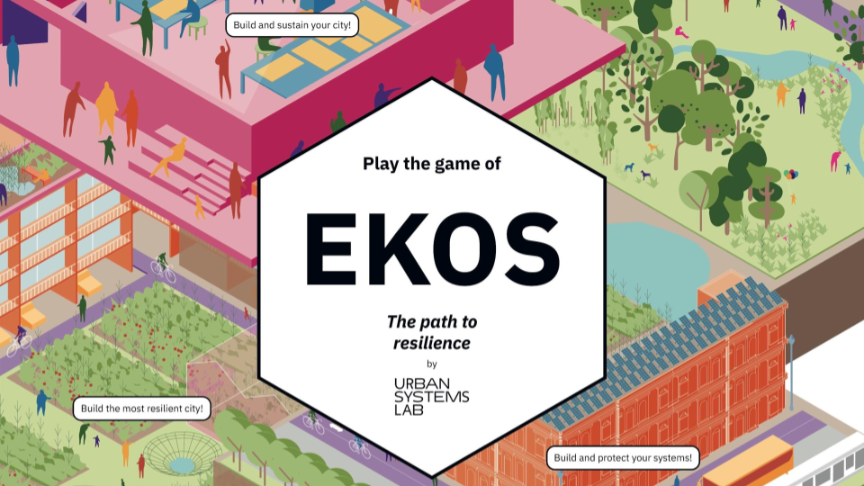
Read MoreEkos is a multiplayer board game that uses systems thinking and strategy to explore concept of urban resilience and nature-based solutions.
Read MoreAn interactive web application that visualizes Social, Ecological, and Technological Systems (SETS) data.
Read MoreA report from the World Economic Forum's Global Commission on BiodiverCities to synthesize the latest research with practical solutions in the service of sustainable, inclusive and nature-positive urban development.
Read MoreA concise and accessible synthesis of IPCC Working Group I material for urban policymakers.
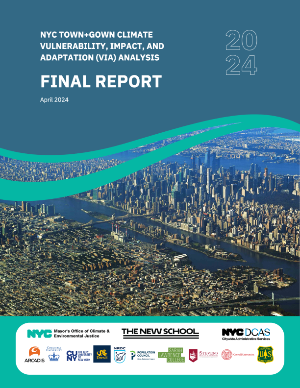
Read MoreThis report highlights a collaborative efforts with multiple NYC agencies to co-develop six transformative scenarios for New York City’s climate resilience and adaptation to extreme events by 2100.
Read MoreThe Milwaukee Flood and Health Vulnerability Assessment (FHVA) is an assessment tool which identifies communities across Milwaukee where exposure to urban flooding and pre-existing health, housing and socioeconomic conditions intersect and create disproportionate vulnerabilities to the impacts caused by extreme flooding.
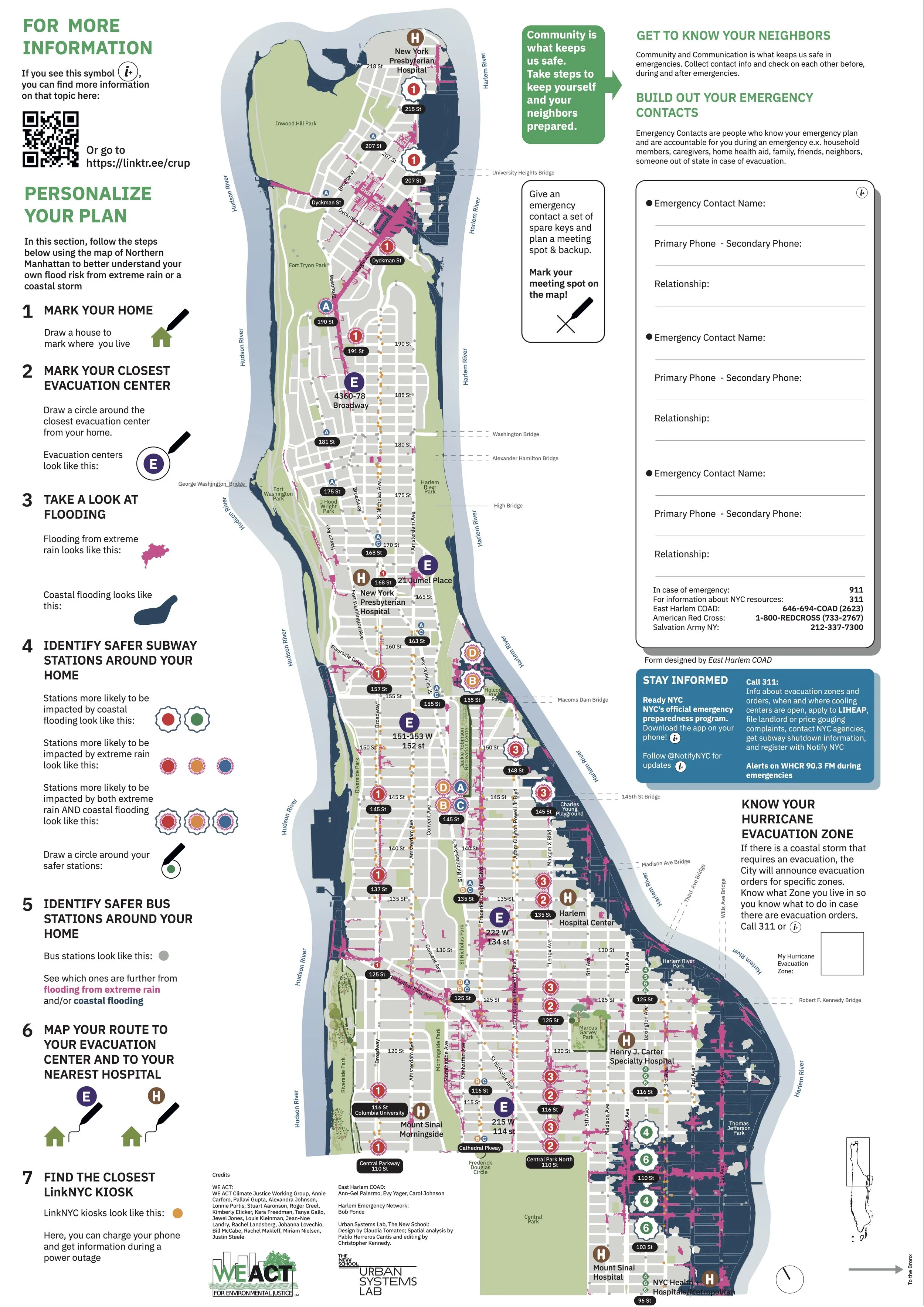
Read MoreThe Climate Ready Uptown Plan (CRUP) is a guide and map to help Northern Manhattan community members understand their individual risk to climate related disasters
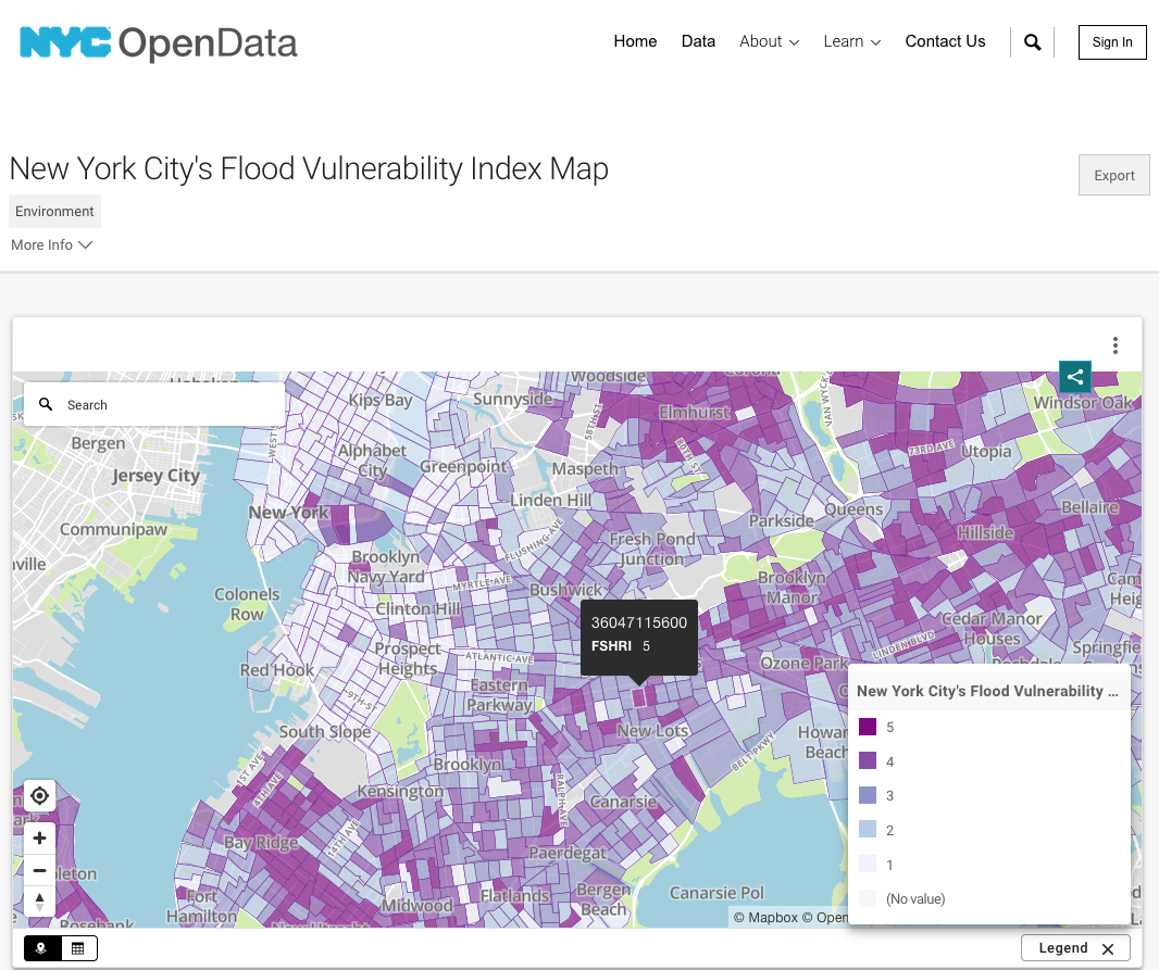
Read MoreThe NYC Flood Vulnerability Index (FVI) assesses the distribution of vulnerability to flooding across NYC in order to guide flood resilience policies and programs. Vulnerability contains three components: exposure to a hazard, susceptibility to harm from the exposure, and capacity to recover.
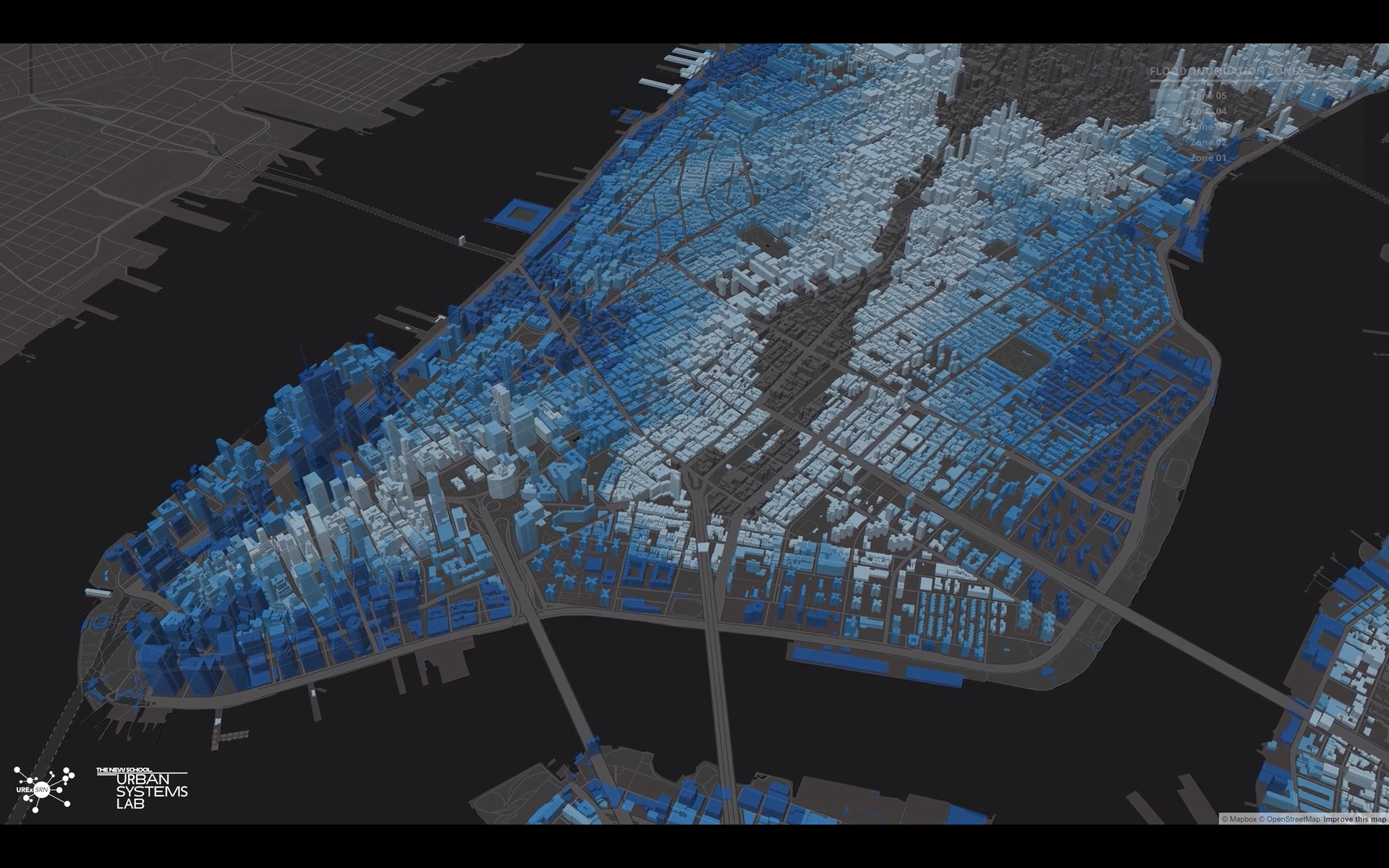
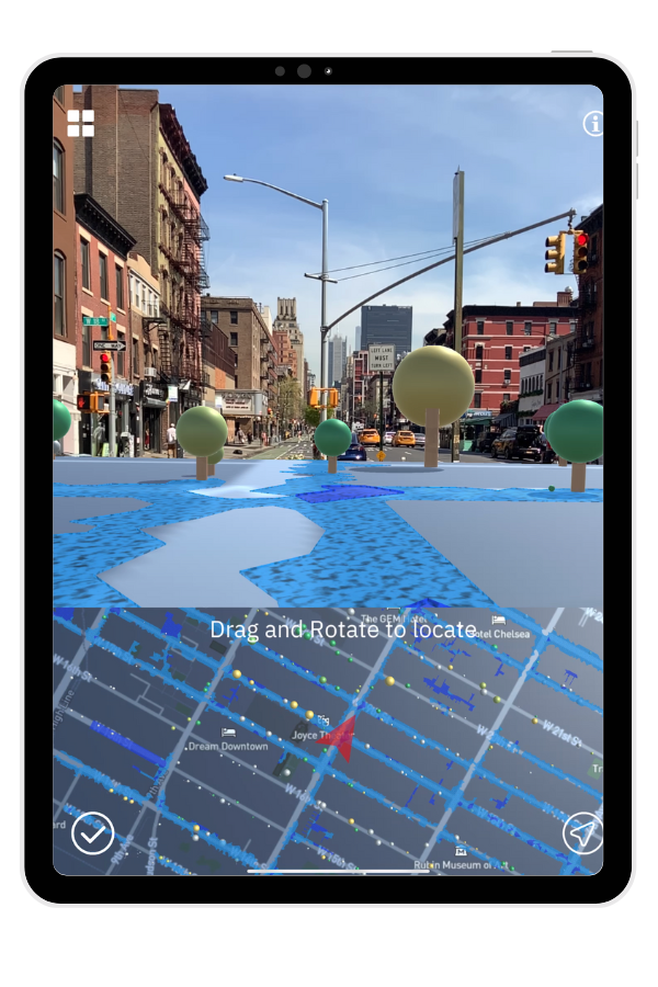
Read MoreOcellus XR is a mixed reality application that leverages the Urban Systems Lab’s Data Visualization Platform to present users with unique interactive geospatial maps of heat, flood risk and other climate indicators in New York City.
Read MoreClimateIQ is an AI driven, multi-hazard risk and vulnerability tool leveraging Machine Learning, Big Data, and multiple climate hazard model environments to reveal high resolution hotspots of overlapping climate risks in cities and urbanized regions.
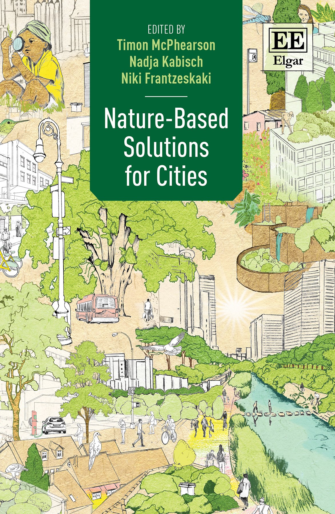
Read MoreNature-based Solutions for Cities brings diverse perspectives from across the globe together to describe the state of the art in advancing nature-based solutions for cities.
Read MoreThis report assesses future climate change and its potential impacts, to inform decision-making by the City of New York.
Read MoreThe 4th assessment of the NYC Panel on Climate Change (NPCC4) provides insight into the state of the science on climate change and the implications for adaptation and mitigation policy in New York City.
Read More