
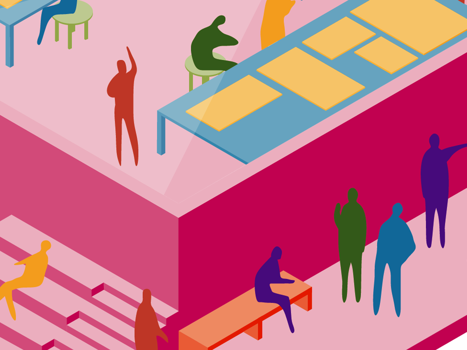
Data Visualization & Design
Our work on Data Visualization & Design includes the Ocellus Dataviz Platform, Ocellus XR and a range of science communication products. The following is an introduction to this work with links for more information.


Ocellus: Urban Systems Lab Dataviz Platform
Ocellus, the Urban Systems Lab’s Data Visualization Platform is an interactive web application that visualizes social, ecological, and technological systems (SETS) data to improve understanding of urban systems and enhance decision making for more equitable and resilient cities.
Designed and implemented initially for ten different cities within the Urban Resilience to Weather-related Extremes (UREx) Sustainability Research Network, it was conceived as a tool to produce knowledge, bridging the gap between quantitative social, ecological and infrastructure data, and the rich and layered qualitative insights compiled at local stakeholder future visioning workshops. Facilitated by a team of academic researchers, city planners, first responders, NGOs, and local community groups, the 3D visualizations featured on the platform are used to support cross-city analysis, collaboration, and conversation, with an individualized focus on local priorities in each city.
For example, the dataviz platform has been used for stakeholder engagement in a number of scenario workshops, providing the spatial context and SETS data to explore desirable and plausible pathways for critical infrastructure in cities such as Phoenix, Portland, Miami, and San Juan. The map for New York City has played an important role in our collaboration with the Mayor's Office of Recovery & Resiliency and the Science and Resilience Institute at Jamaica Bay to reduce the city’s vulnerability to flooding. USL Fellows are conducting similar work in nine US and Latin American cities included on the platform.
Ocellus Team: Daniel Sauter, Timon McPhearson, Jaskirat Randhawa, Joe Steele, Claudia Tomateo, & Chris Kennedy.

Ocellus XR
Ocellus XR is a mixed reality application that leverages the Urban Systems Lab’s Data Visualization Platform to present users with unique interactive geospatial maps of heat, flood risk and other climate indicators in New York City.
The app provides a novel experience to understand climate risk, allowing users to explore first-person 3D visualizations of social-ecological-technological data by projecting interactive maps and proposed resilience interventions onto physical surfaces and experiment with augmented reality layers. The app also allows users to view proposed green infrastructure projects to better understand who will benefit most from these resiliency efforts. The Ocellus XR project builds on the USL’s expertise in advancing spatial agent-based modeling, machine learning, social media data, and cutting-edge visualization of urban social and infrastructure systems to ask better and new questions about key climate change risks and opportunities to advance adaptation in cities.
Ocellus XR Team: Daniel Sauter, Timon McPhearson, Elena Peng, Xinyue Elena Peng, Yahnze Wu, Peilu Fan, Emily Bowe, John Outwater, and Chris Kennedy.


Stormwater.nyc
Stormwater.nyc is a 3D data visualization mapping platform that integrates publically available data on stormwater resiliency in NYC, with population demographics, land use/cover data layers, location of critical infrastructure and greenspaces, and the New York Panel on Climate Change’s floodplain maps. Developed as part of the NYC Stormwater Resiliency Study the platform compliments the NYC Mayor's Office Stormwater Resiliency Plan and provides the ability to compare and contrast the potential social and infrastructural risk of future flooding scenarios in NYC.


Science Communication
We are committed to improving science communication through dynamic visualizations and graphics that help stakeholders and publics interpret critical science concepts and issues.

Big Data & Artificial Intelligence
Community Engagement

Data Visualization & Design

Nature-Based Solutions

Urban Ecology

Environmental Justice & Equity

Urban Policy & Planning

Urban Climate Resilience