A report from the World Economic Forum's Global Commission on BiodiverCities to synthesize the latest research with practical solutions in the service of sustainable, inclusive and nature-positive urban development.
Read MoreA concise and accessible synthesis of IPCC Working Group I material for urban policymakers.
Read MoreThis report highlights a collaborative efforts with multiple NYC agencies to co-develop six transformative scenarios for New York City’s climate resilience and adaptation to extreme events by 2100.
Read MoreThe Milwaukee Flood and Health Vulnerability Assessment (FHVA) is an assessment tool which identifies communities across Milwaukee where exposure to urban flooding and pre-existing health, housing and socioeconomic conditions intersect and create disproportionate vulnerabilities to the impacts caused by extreme flooding.
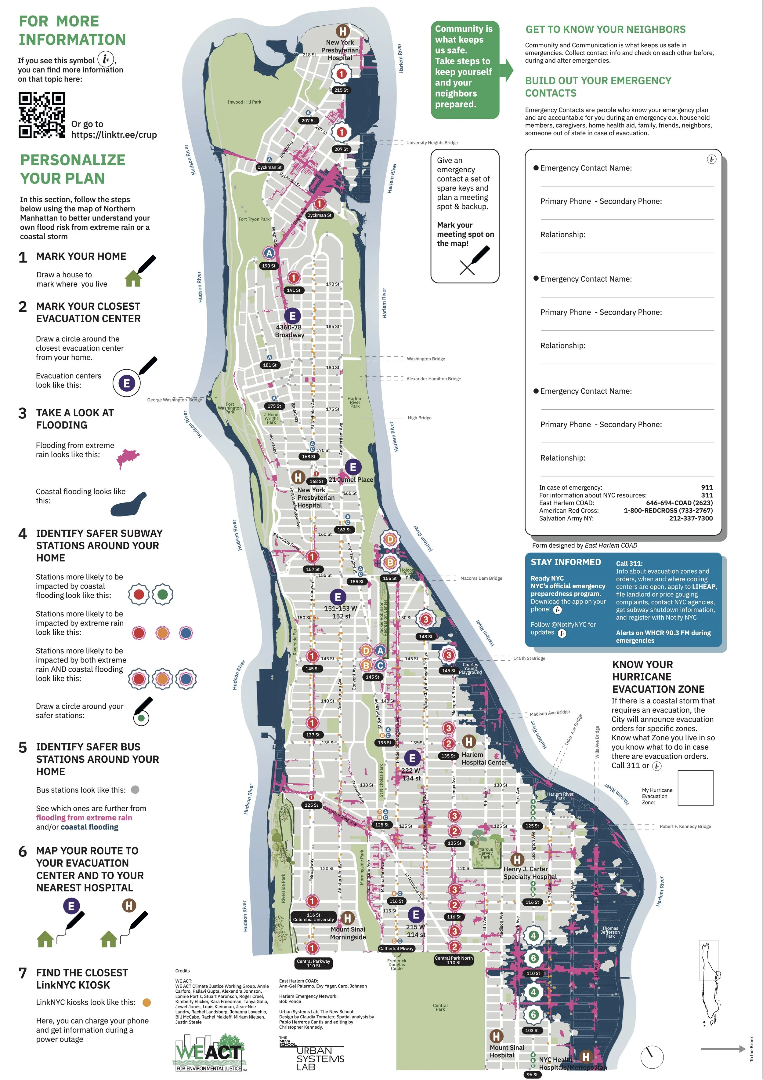
Read MoreThe Climate Ready Uptown Plan (CRUP) is a guide and map to help Northern Manhattan community members understand their individual risk to climate related disasters
Read MoreThe NYC Flood Vulnerability Index (FVI) assesses the distribution of vulnerability to flooding across NYC in order to guide flood resilience policies and programs. Vulnerability contains three components: exposure to a hazard, susceptibility to harm from the exposure, and capacity to recover.
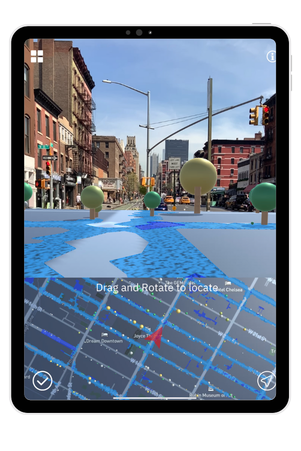
Read MoreOcellus XR is a mixed reality application that leverages the Urban Systems Lab’s Data Visualization Platform to present users with unique interactive geospatial maps of heat, flood risk and other climate indicators in New York City.
Read MoreClimateIQ is an AI driven, multi-hazard risk and vulnerability tool leveraging Machine Learning, Big Data, and multiple climate hazard model environments to reveal high resolution hotspots of overlapping climate risks in cities and urbanized regions.
Read More


