Posts in Data Viz. & Design
ClimateIQ

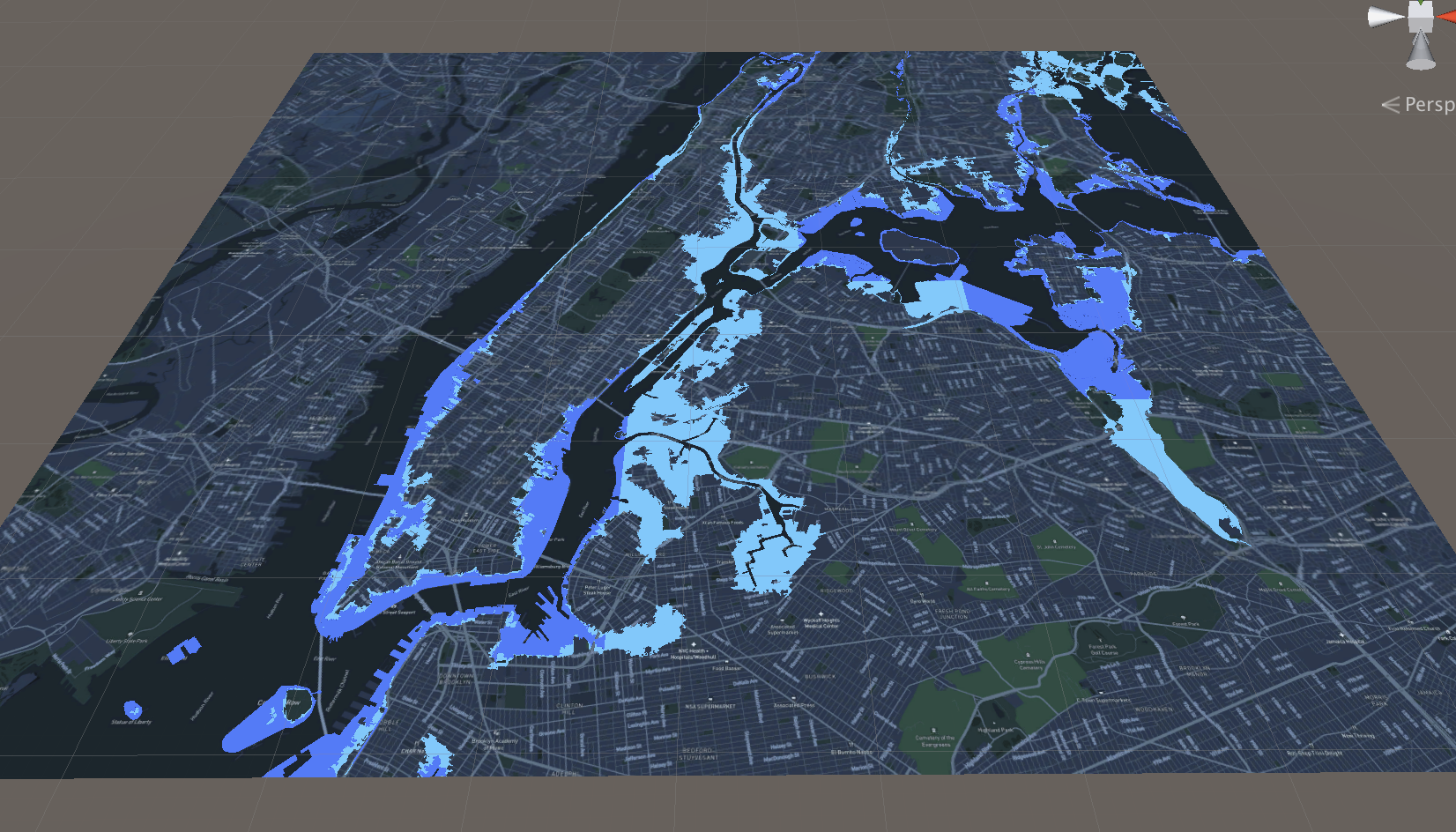
ClimateIQ helps city planners and communities prioritize local adaptations to climate hazards, using advanced climate models and machine learning to identify the areas most at risk.

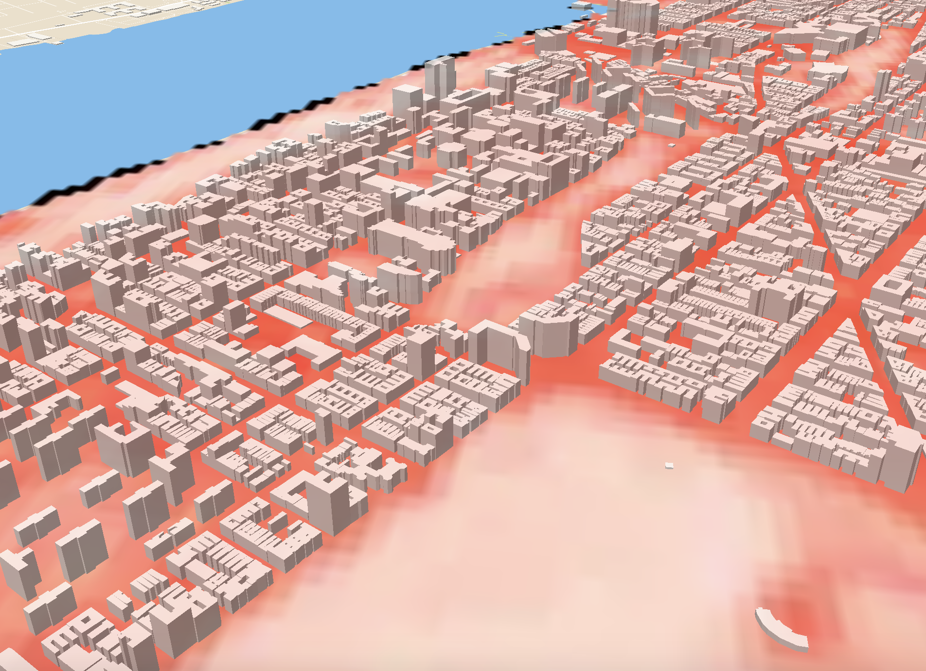
ClimateIQ is based on an innovative, integrated multi-hazard modeling environment, which generates predictions for high resolution urban heat and extreme flood hazard exposure information. ClimateIQ uses advanced physics-based models to simulate climate hazard exposure. Machine learning models learn to reproduce the outputs of the physics-based models, speeding up climate hazard simulation time. To make hazard information available to users, ClimateIQ partners with Climasens to provide a user-friendly dashboard and APIs for easy integration into existing workflows.

The ClimateIQ team brings extensive experience in climate risk modeling, AI applications, data analysis and visualization, as well as working with diverse stakeholders in cities. Led by Dr. Timon McPhearson, Director of the Urban Systems Lab (USL) at the New School in New York City, the core team includes faculty and researchers at The New School, along with partners at Climasens, Stockholm Resilience Centre (SRC), Beijer Institute of Ecological Economics, Cary Institute of Ecosystem Studies and George Mason University. Support provided in part by Google.org Impact Challenge on Climate Innovation.

Climate Ready Uptown Plan

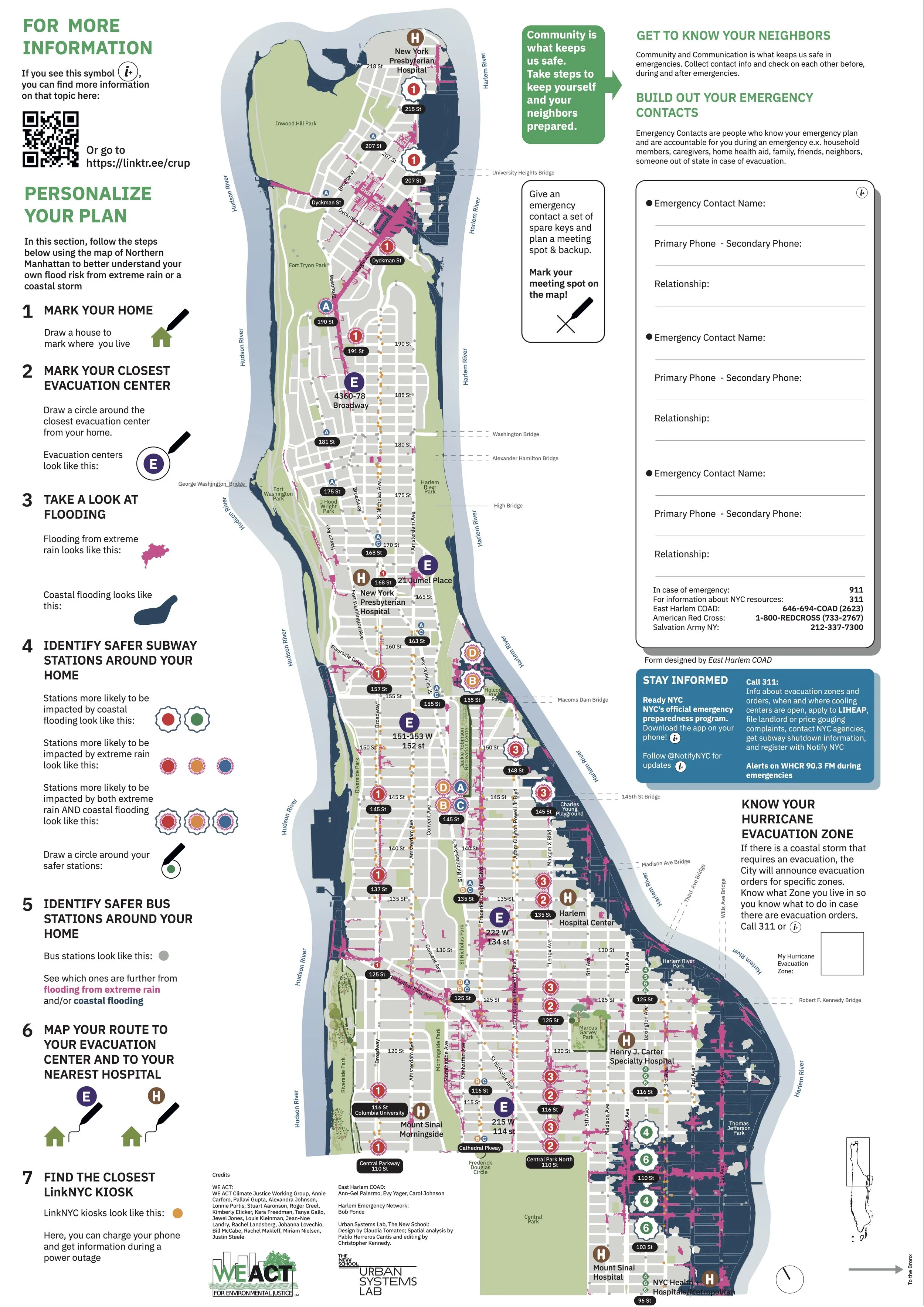
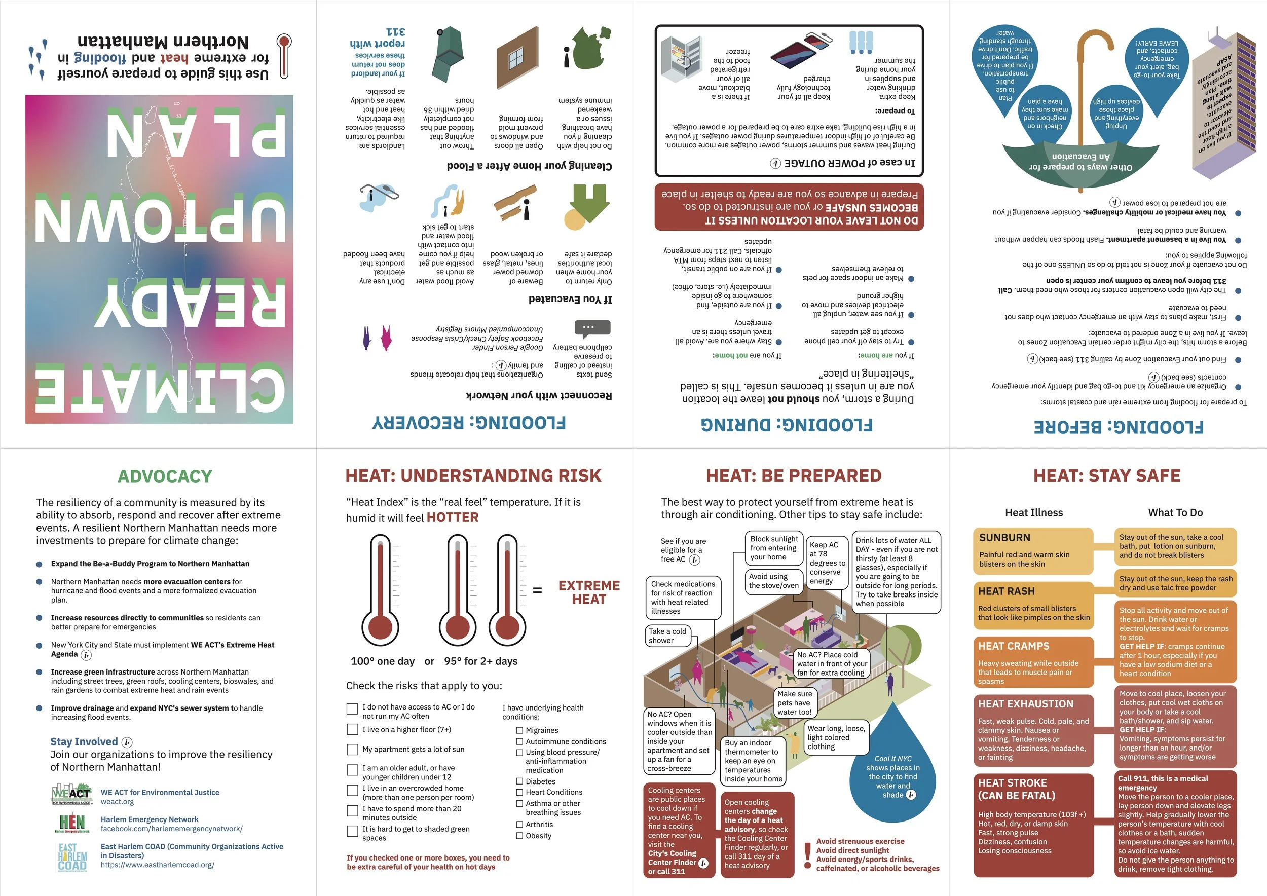
The Climate Ready Uptown Plan (CRUP) is a guide and map to help Northern Manhattan community members understand their individual risk to climate related disasters – specifically extreme heat, coastal and inland flooding – and provides pertinent information to help prepare themselves and their families. Designed by WE ACT for Environmental Justice in partnership with East Harlem COAD, Harlem Emergency Network and Urban Systems Lab, the Plan is tailored to residents of Northern Manhattan to better understand their flood risk. From the onset, CRUP was designed with community at the forefront. WE ACT’s Climate Justice Working Group helped with the initial planning, research and layout of the tool, and scenario planning meetings as well as focus groups with Northern Manhattan residents helped WE ACT refine the messaging and language included in the plan to make it as effective and relatable as possible.

DOWNLOAD MAP

Ocellus XR

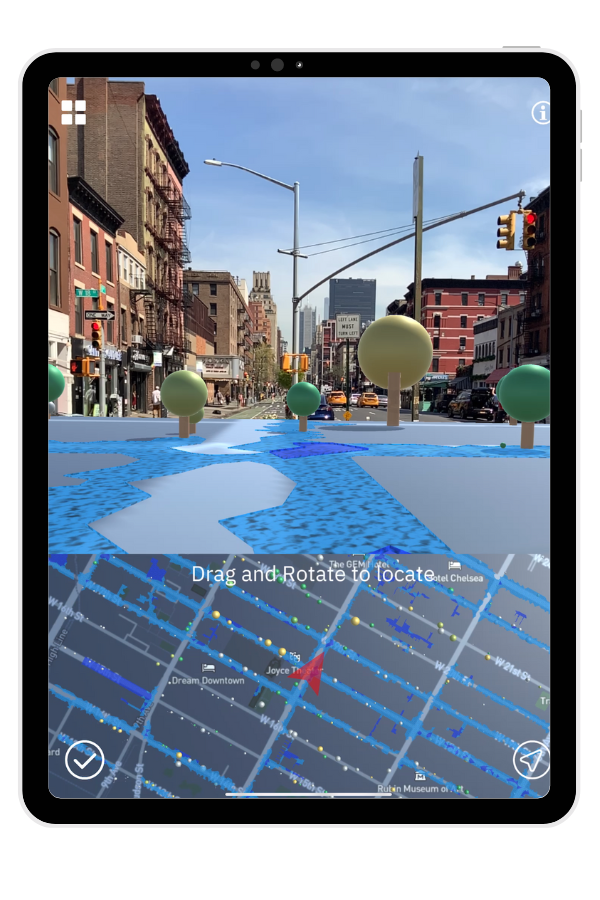
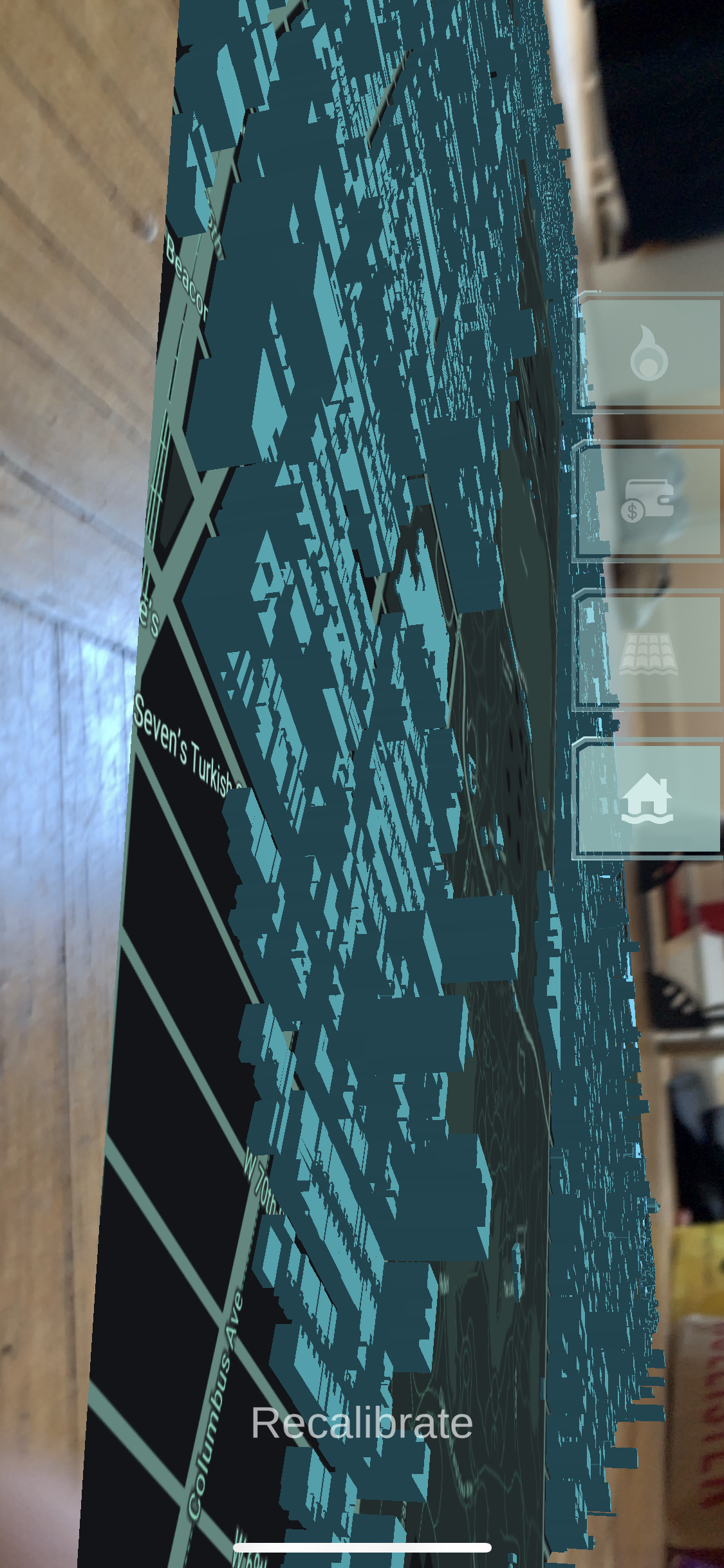
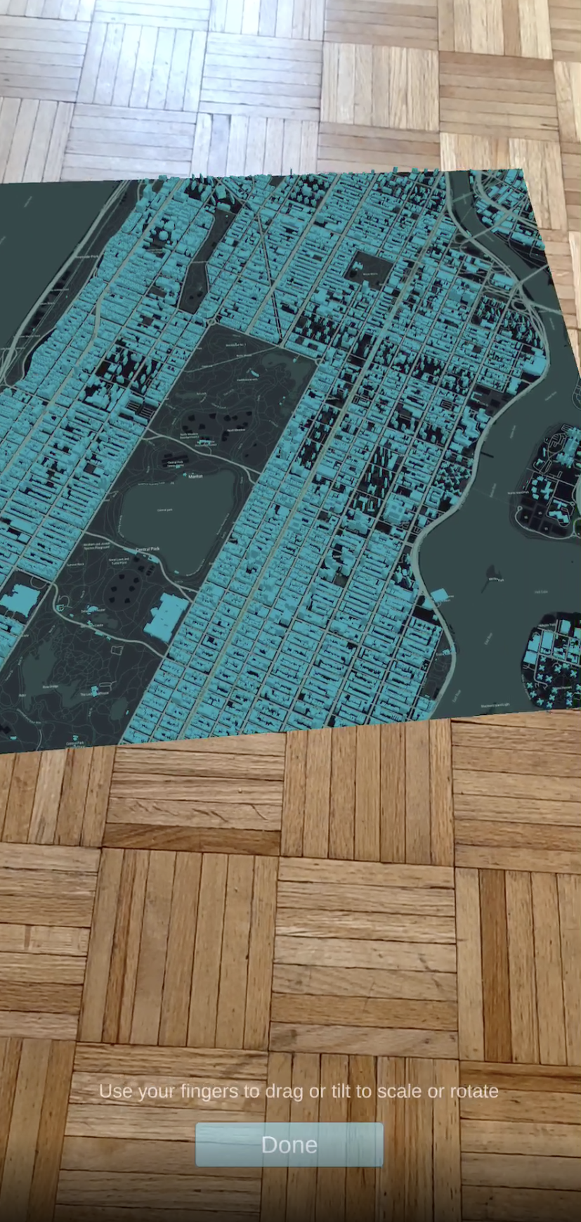
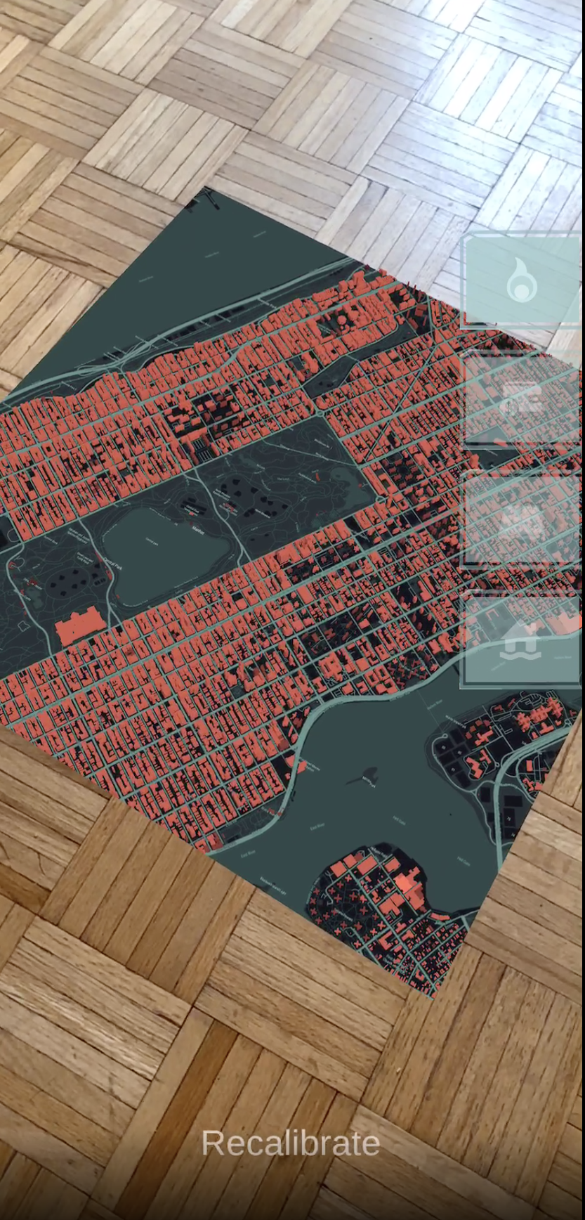
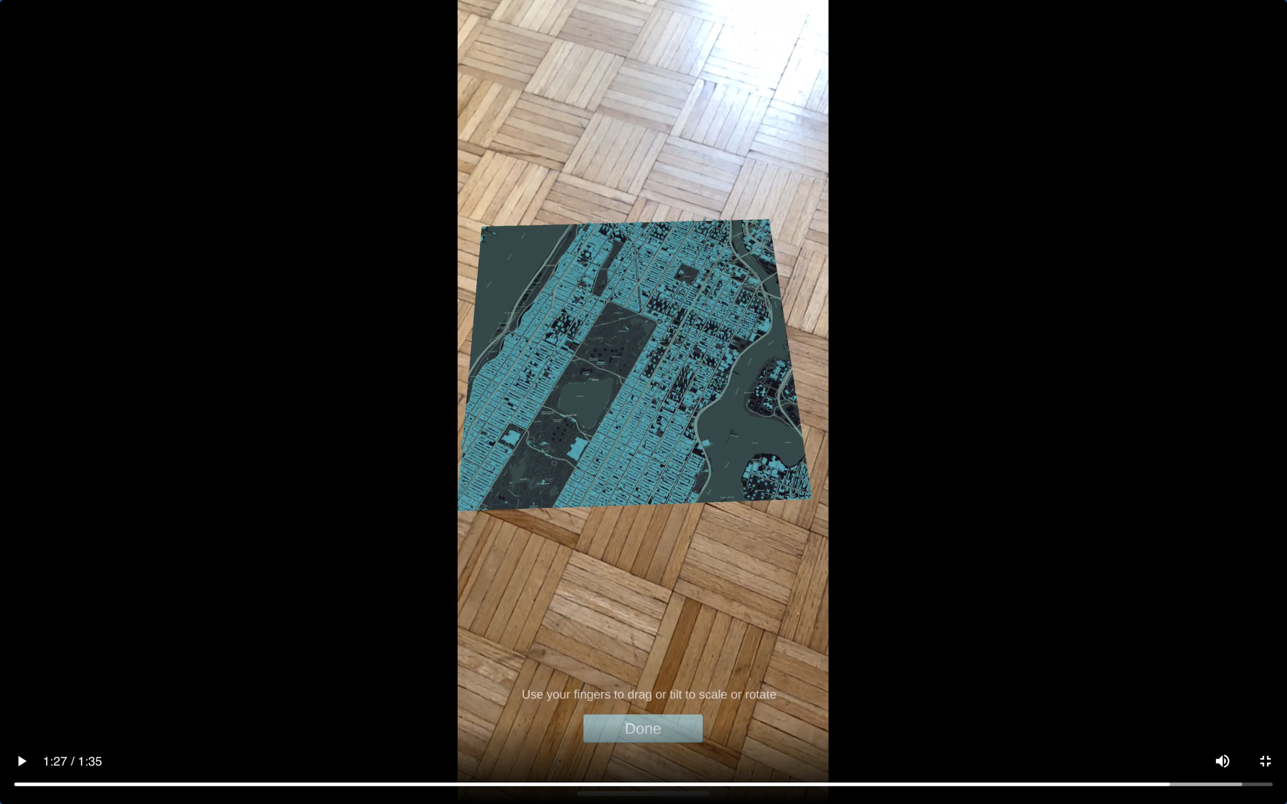
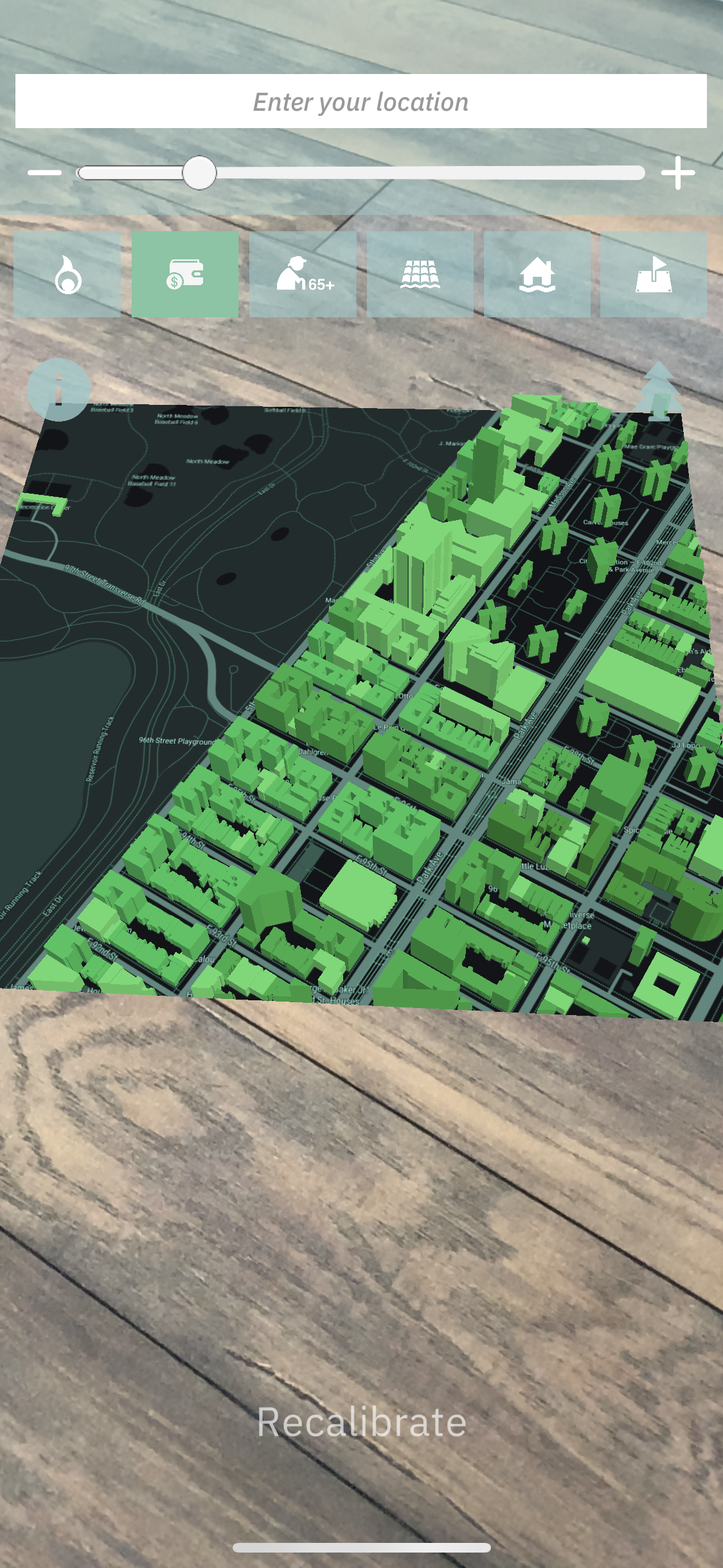
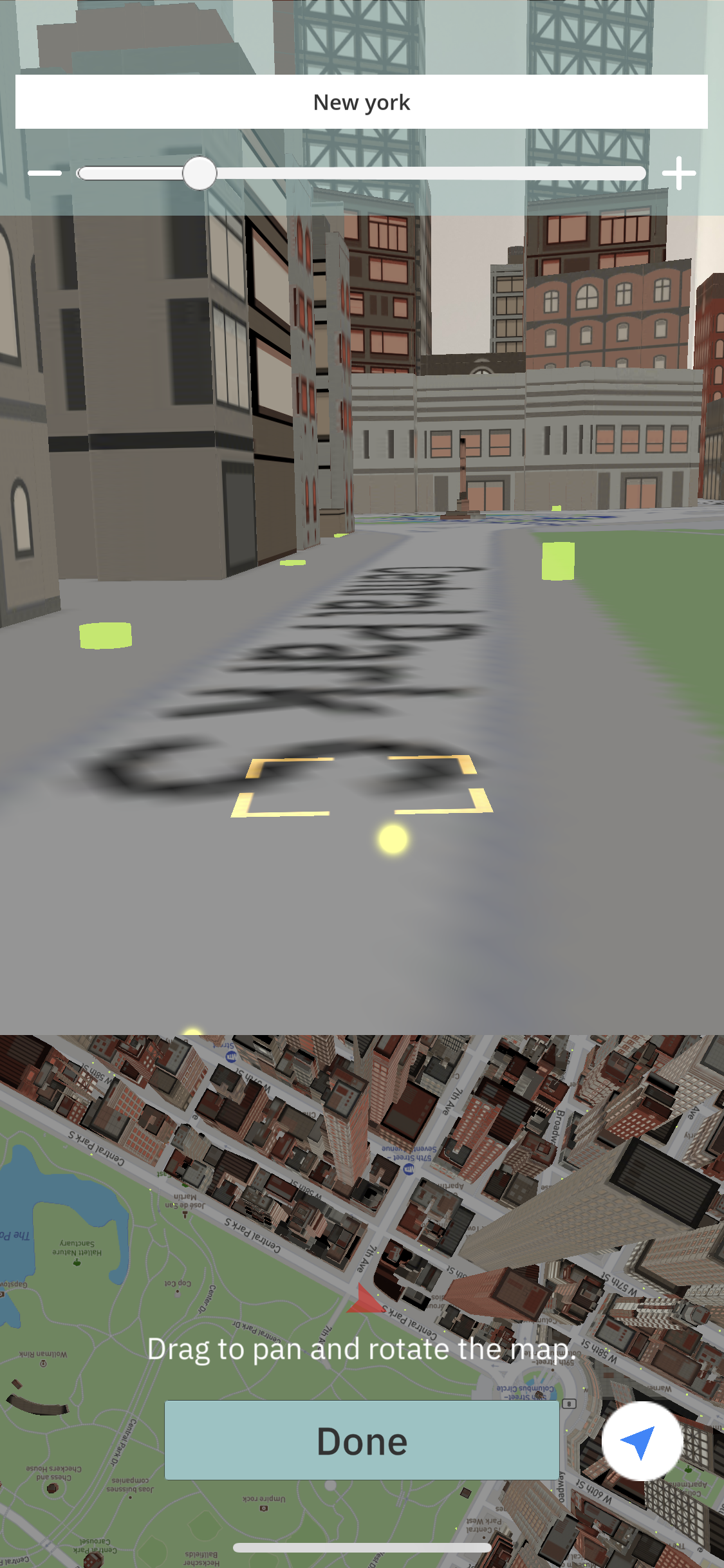
Ocellus XR is a mixed reality application that leverages the Urban Systems Lab’s (USL) Data Visualization Platform to present users with unique interactive geospatial information of heat, flood risk and other climate indicators in New York City. Integrating environmental studies and data visualization into place-based research on social vulnerability and equity, the app provides a novel experience to understand climate risk, allowing users to explore first-person 3D visualizations of social, ecological, and technological data by projecting interactive maps and implemented resilience interventions onto physical surfaces and experiment with augmented reality layers. The Ocellus XR project builds on the USL’s expertise in advancing spatial agent-based modeling, machine learning, social media data, and cutting-edge visualization of urban social, ecological, and infrastructure systems to ask new questions about key climate change risks and opportunities to advance adaptation in cities.


Acknowledgements

Ocellus XR is developed by members of the Urban Systems Lab at The New School. The current Ocellus XR team includes Urban Systems Lab associate diretor Daniel Sauter; USL director Timon McPhearson; Joe Steele, MS Data Visualization ’18; Xinyue Elena Peng, BFA Design & Technology ’22; and Schools of Public Engagement research fellow Claudia Tomateo; and Urban Systems Lab Associate Director Chris Kennedy. Support for OcellusXR is provided in part by the Architecture League of New York’s 2022 Independent Project Grant which is made possible through support from the New York State Council on the Arts.

The graphics, text and information included in the “What can I do?” section of Ocellus XR was developed by WE ACT for Environmental Justice, the East Harlem COAD and Harlem Emergency Network as part of the Climate Ready Uptown Plan (CRUP) project. CRUP is a physical pamphlet that helps Northern Manhattan community members understand their individual risk to climate related disasters and provides pertinent information to help prepare themselves and their families.

 
Future Earth Knowledge-Action Network
futurearth-tagline-blue-rgb-high-1024x467.jpg

Project Team: Timon McPhearson

Future Earth is an international research platform that helps accelerate transformations to a sustainable world. Its aim is to ensure that scientific understanding is generated in partnership with people throughout society to develop long-term solutions to environmental problems. USL has provided leadership as a member of the core development team, helping to launch the Urban Knowledge-Action Network (UKAN) and the Livable Urban Futures project.

Learn more