Advancing Science


Mission

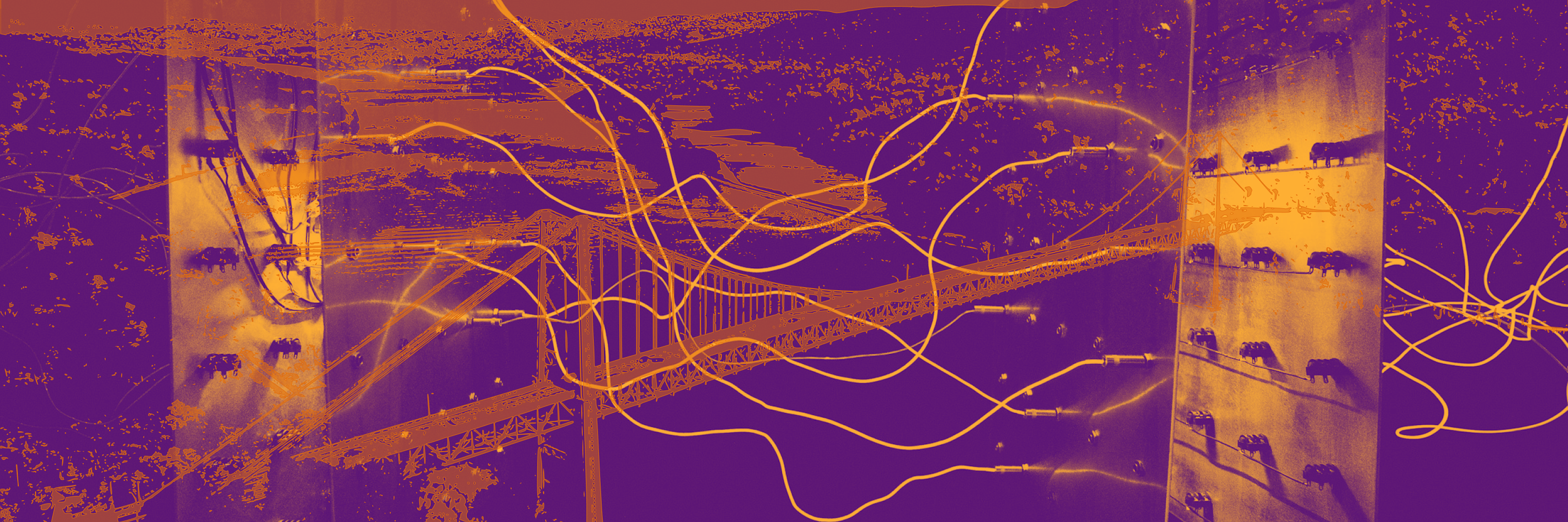
Our mission is to develop systemic solutions to social and environmental challenges driving inequity and injustice in urban areas. To do this, we bring together designers, urban ecologists, scientists, researchers and policymakers with the goal to improve the lives of those most vulnerable, and to enhance decision making and science communication from local to global scales.

Our Work

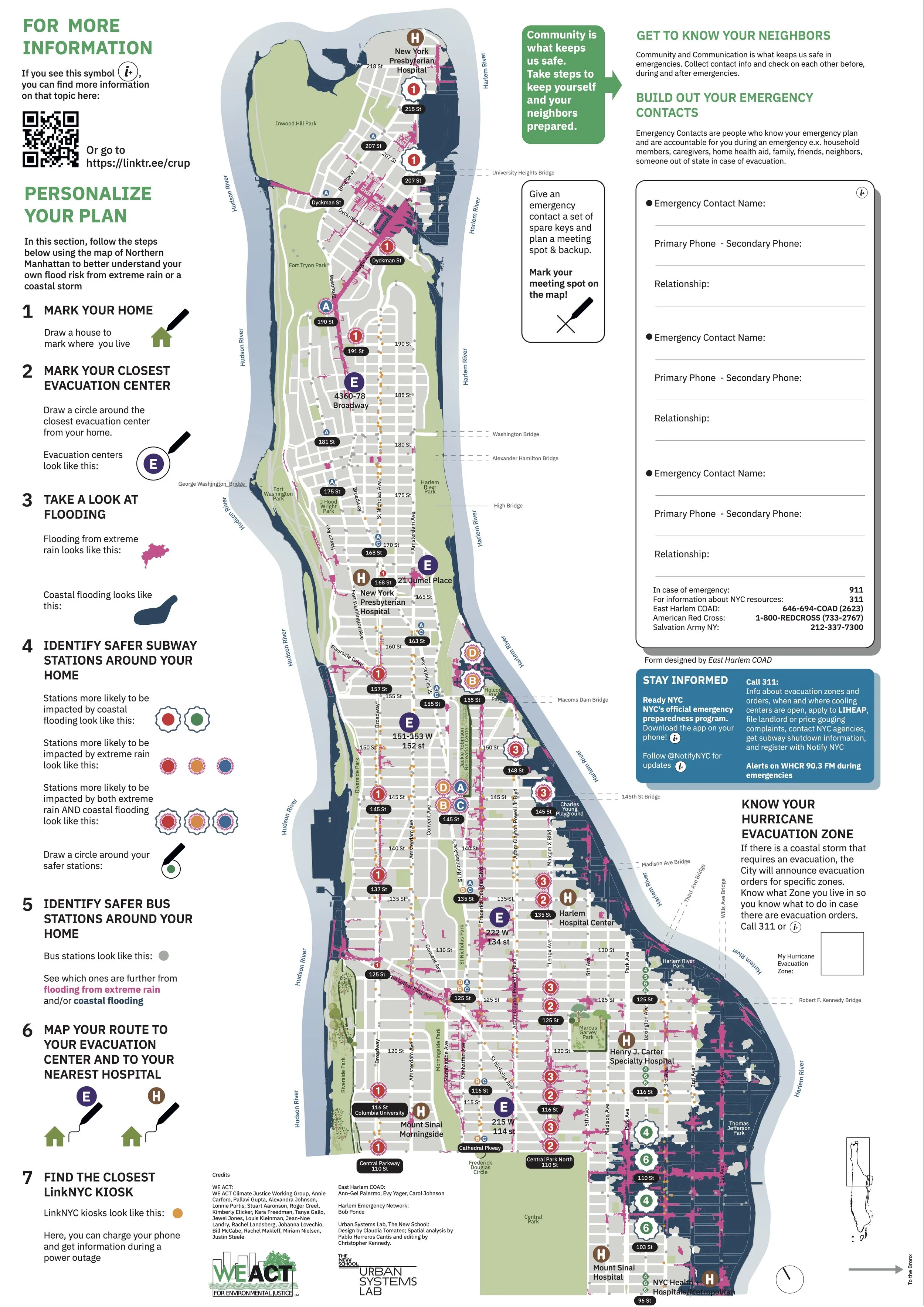
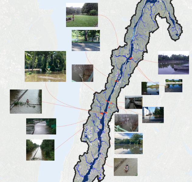
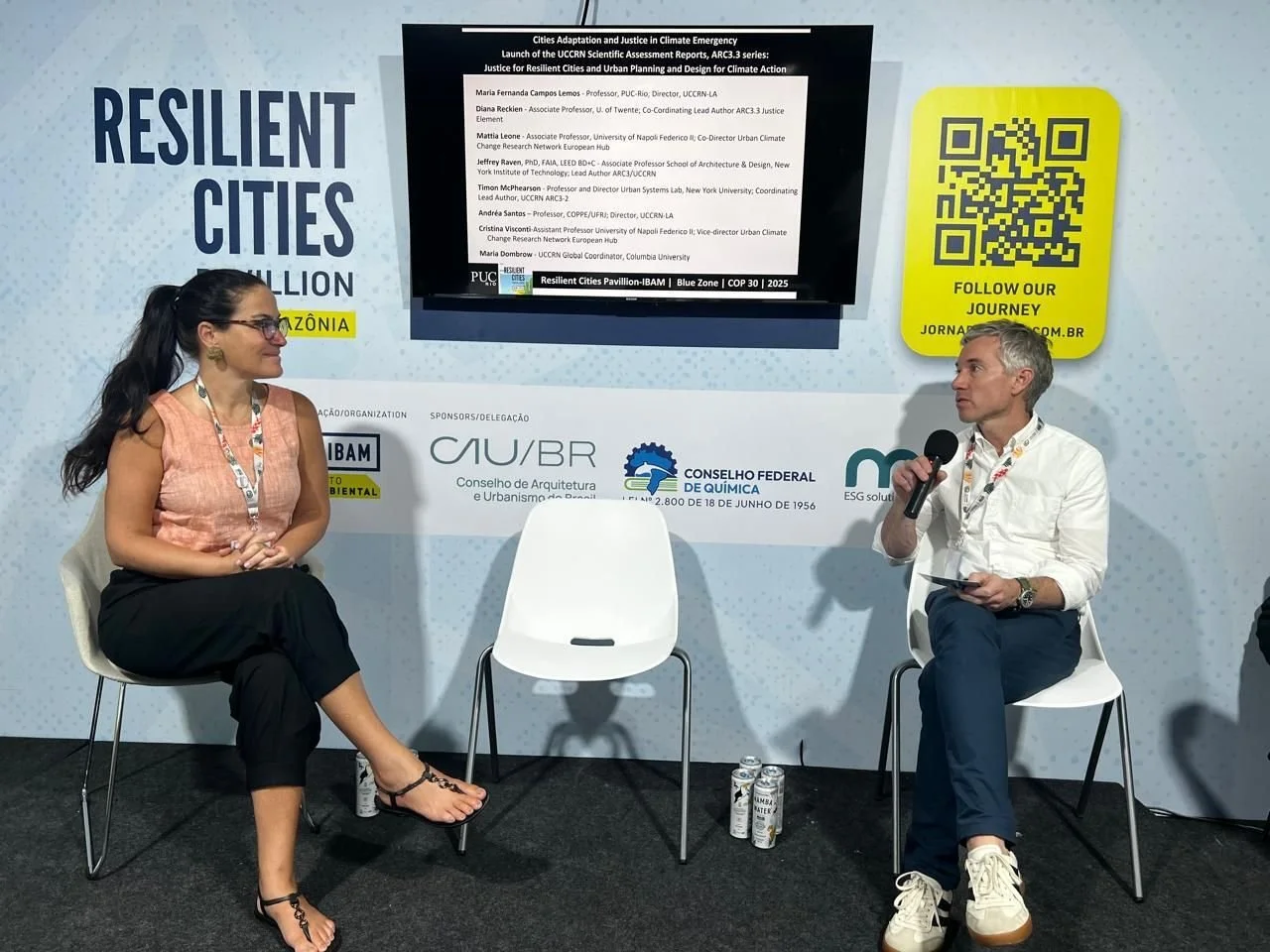
Climate Risk & Resilience
We collaborate with city planners, organizations, and NGOs to provide technical assistance and climate modeling to advance urban adaptation.

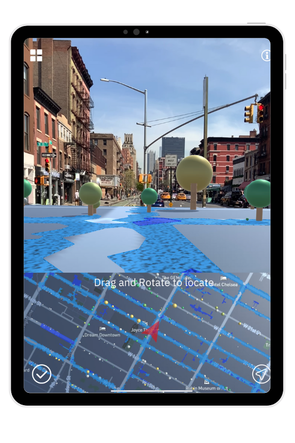
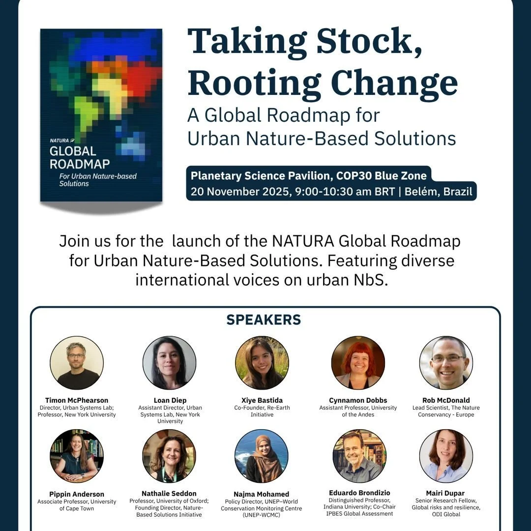
Nature-Based Solutions
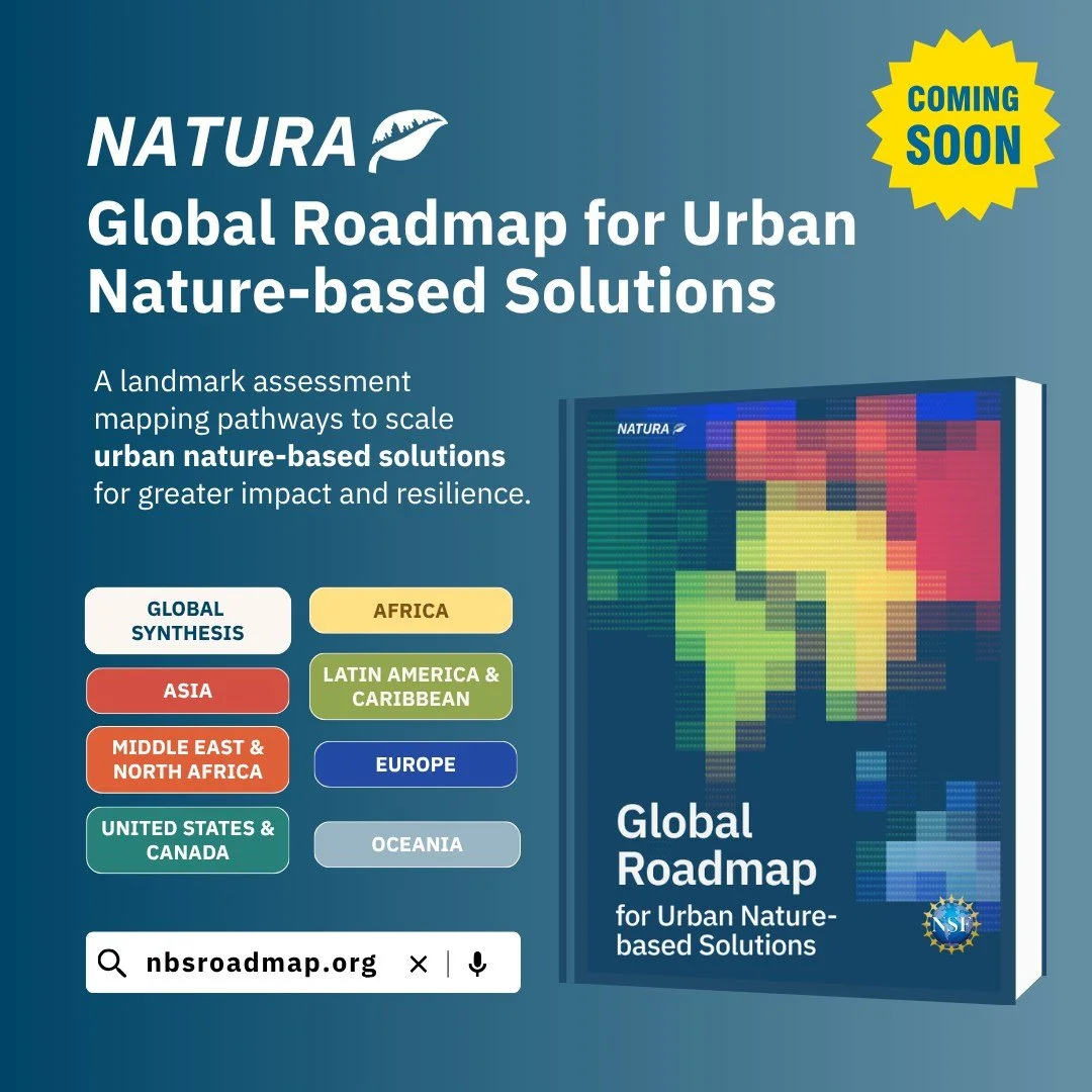
Partnering with researchers and communities globally, we enhance understanding and implementation of nature-based solutions.

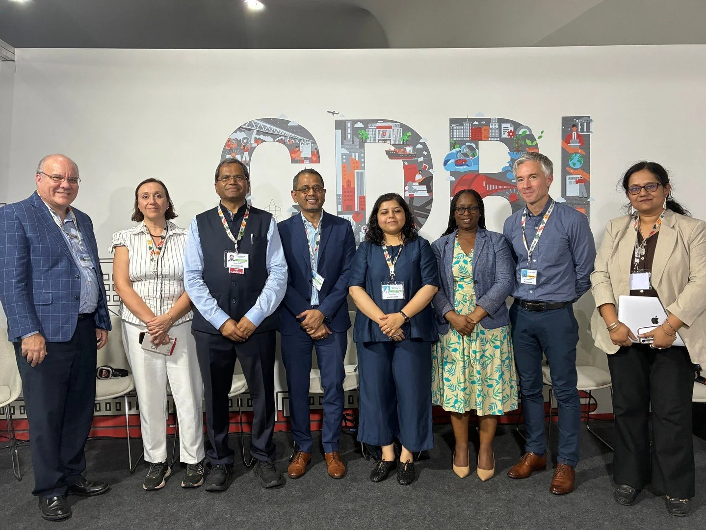
Coproduction & Engagement
Through interdisciplinary methods, we investigate the equity and justice dimensions of urban resilience in cities worldwide.

Recent Products


Impact
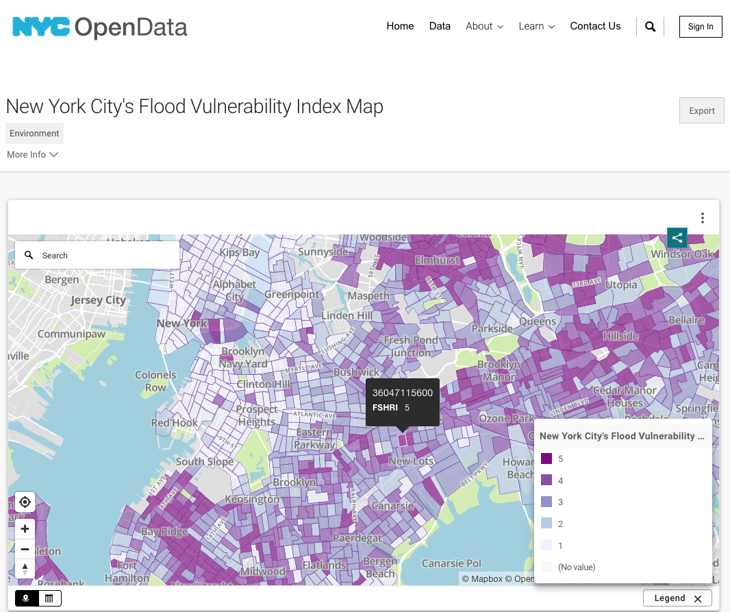
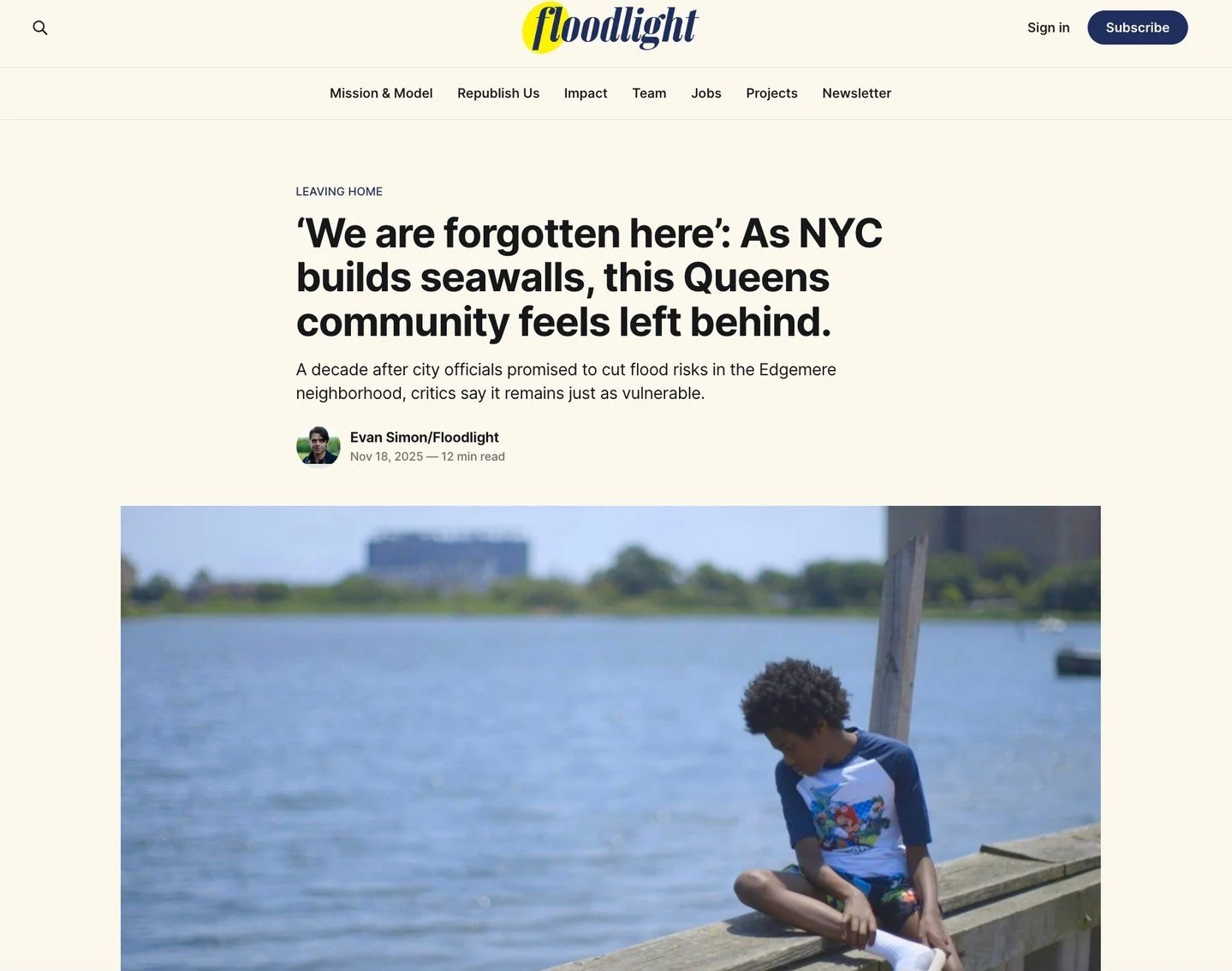
The Urban Systems Lab has been a global leader in urban resilience since 2015, partnering with cities, NGOs, and international organizations to develop innovative climate solutions. Our work has directly influenced policy and planning in cities like New York, and contributed to global assessments like the latest IPCC UN Climate Report report to advance equitable and sustainable urban futures.
28
Research
Initiatives
Initiatives
150
Articles &
Publications
Publications
10
Tools &
Products
Products
89
Partnerships &
Collaborations
Collaborations
109
Trained Students &
Researchers
Researchers

Accomplishments
Our work has directly influenced policy and planning in cities across the world.
Featured


News
Follow Us


LATEST BLOG ARTICLES